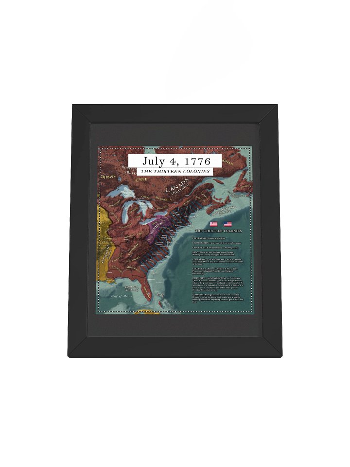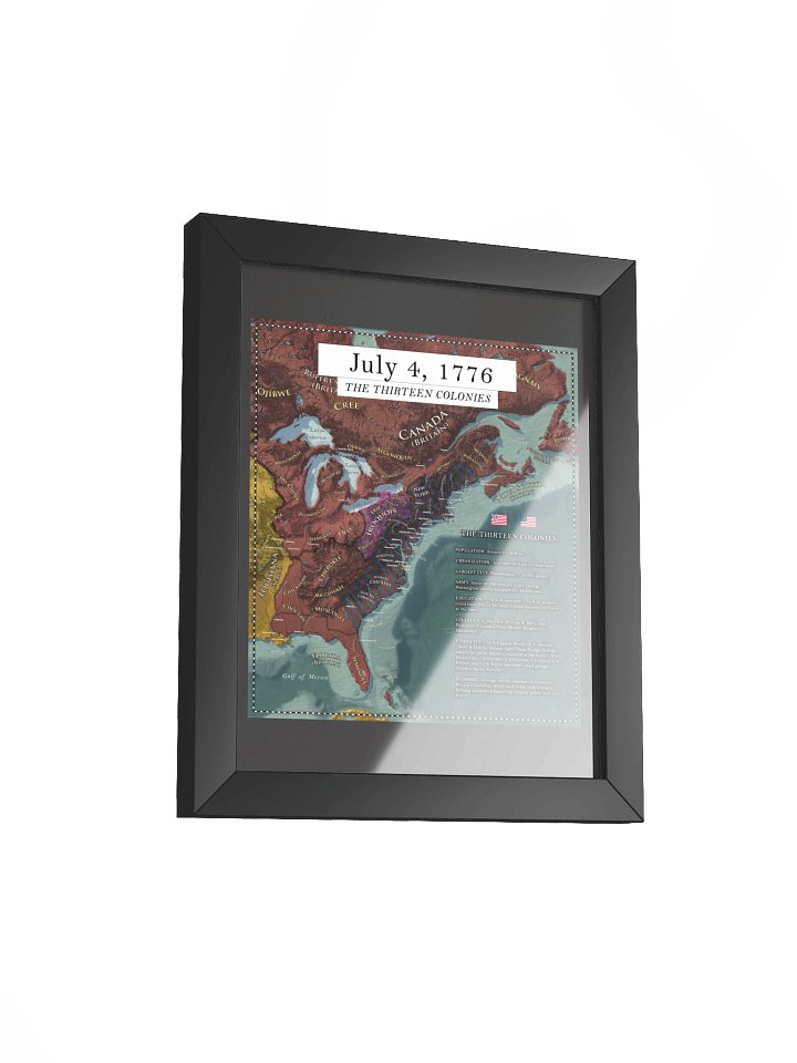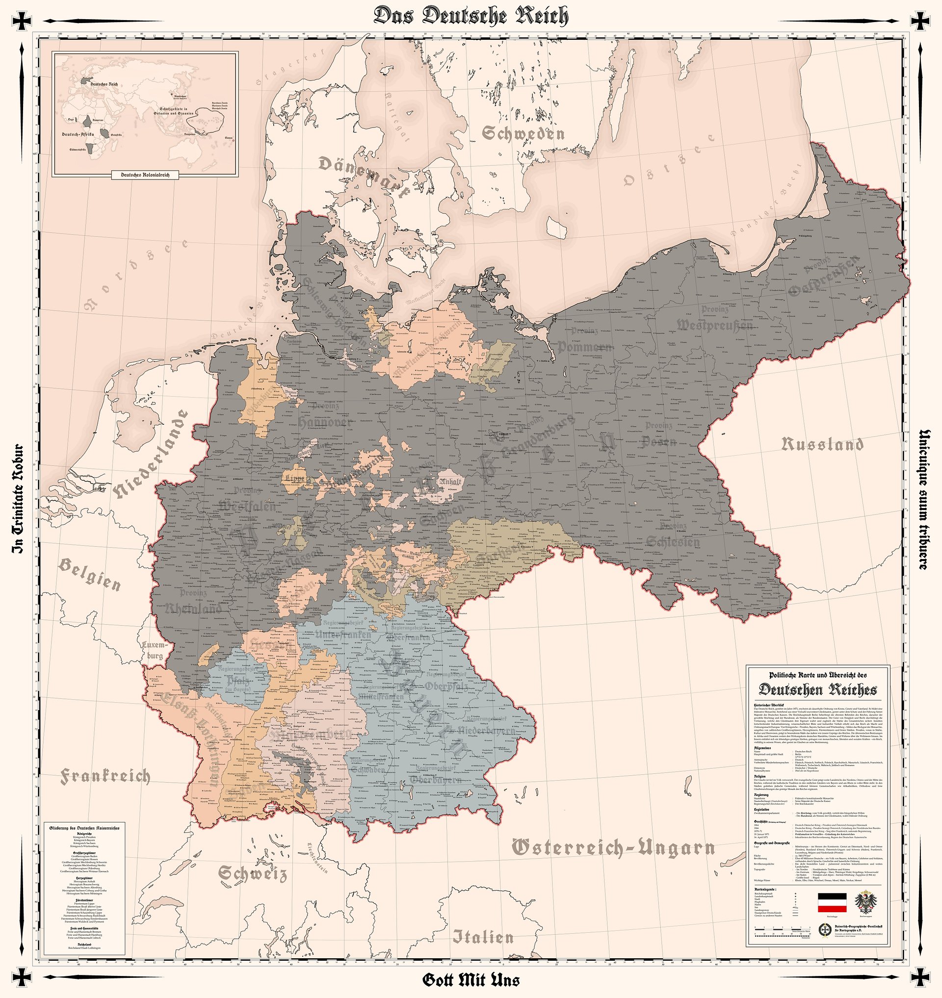
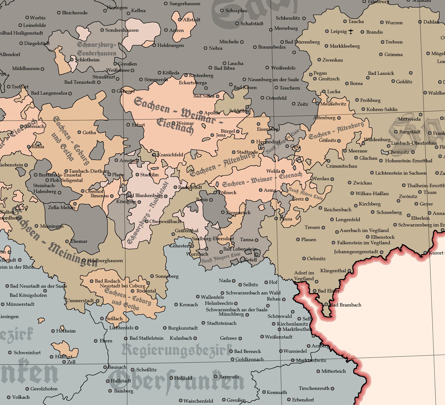
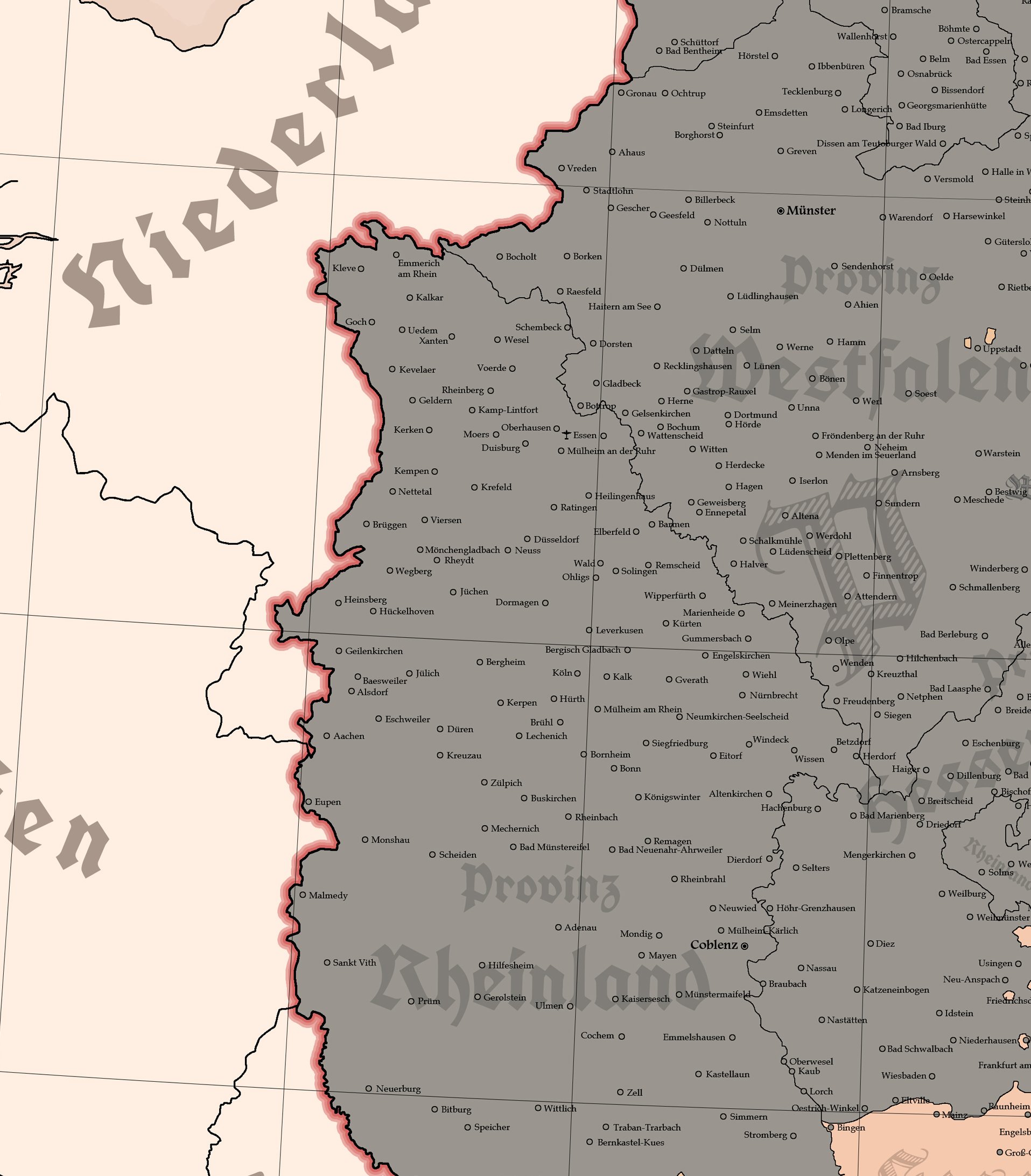
The German Empire - 1914 - 2D Digital High Resolution Map (GERMAN VERSION)
Ultra High Resolution Digital Download - 2D looking. (No Topography)
12000 × 13000 px quality. Poster size. Instant download.
Created through a detailed study of German Empire borders, major cities, and key geographic features in 1914, designed to represent the empire as it stood at the opening of World War I.
The image shows the German Empire in Europe, including its overseas colonies.
What you get:
13000 × 12000 resolution file (most digital maps are only 2k to 4k)
Instant download after purchase
Suitable for classrooms, offices, gifts, or home decor
Who loves this:
German history fans, WWI enthusiasts, teachers, students, collectors, map lovers, and anyone decorating with early 20th century European themes.
This map is excellent for decorative and educational use, but not intended as an academic reference.
This digital file is for personal use only. Commercial use is not permitted.