
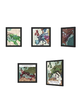
Napoleonic Europe - 1812 - Framed High Resolution Map
Free shipping when you spend £37.81+ for everyone. Promotion auto-applied on checkout.
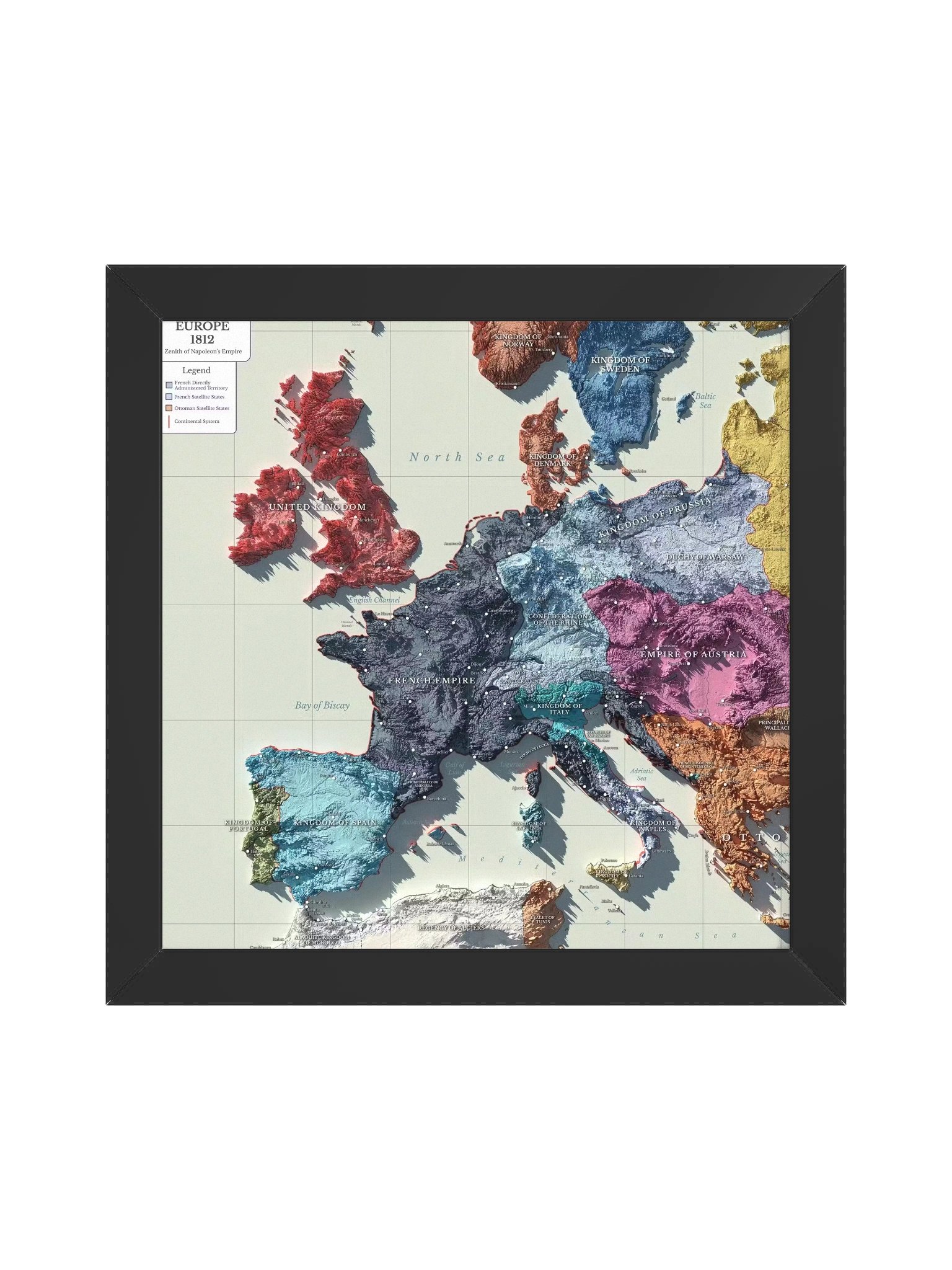
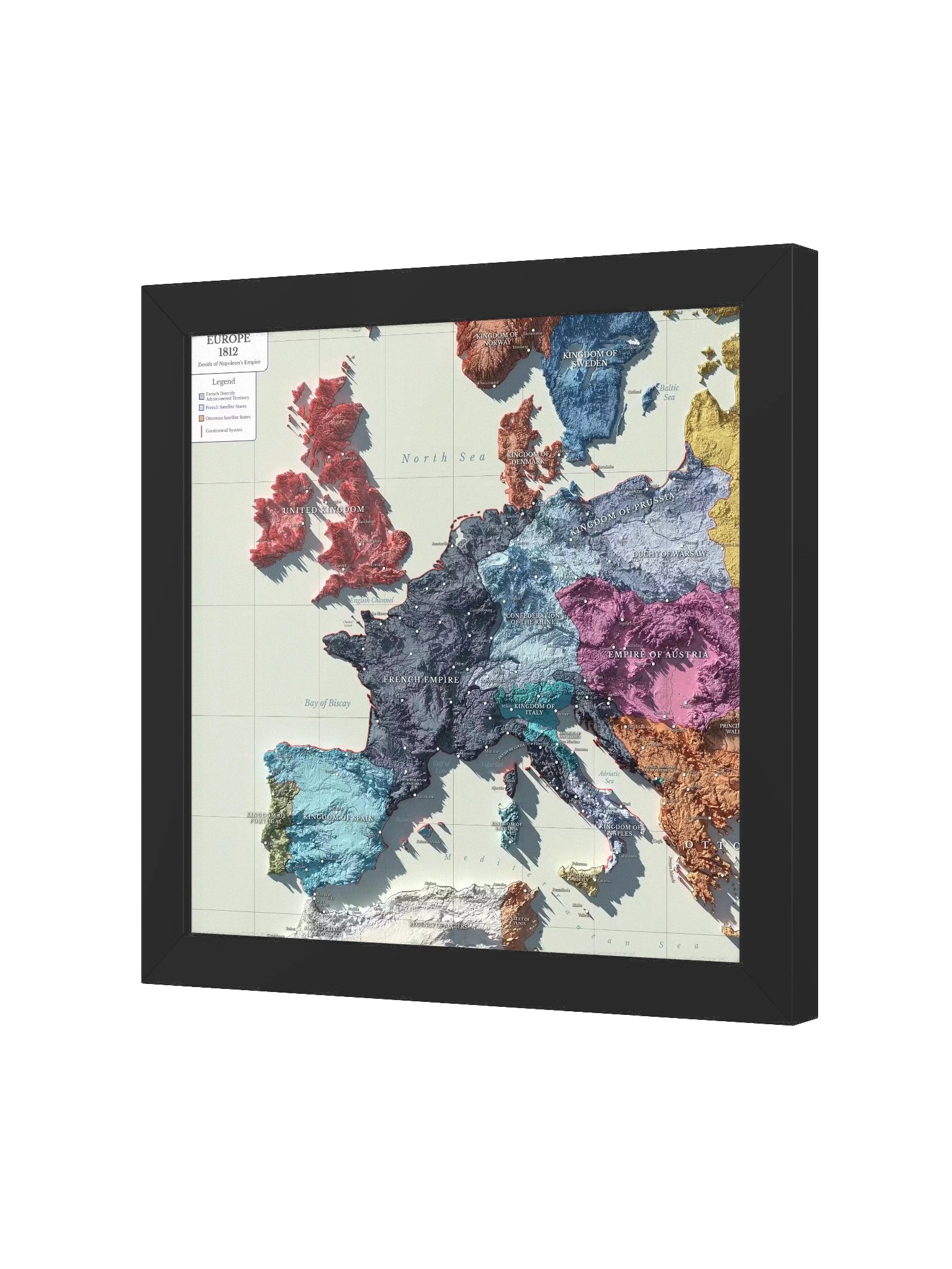
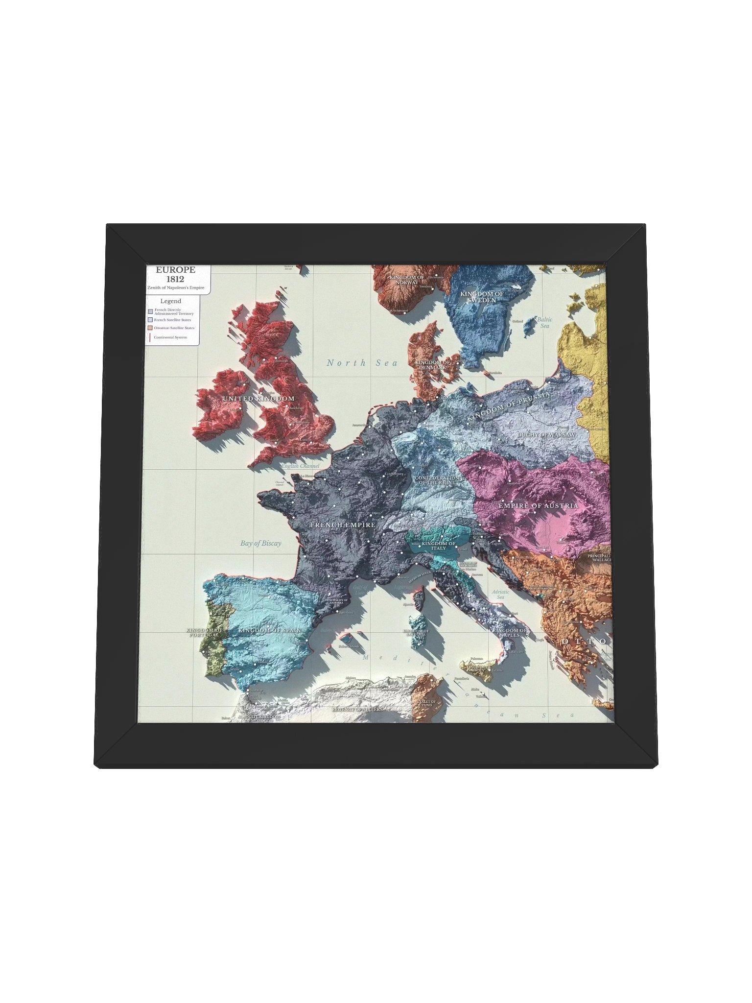
1812: At the height of his power, Napoleon’s empire stretches across the continent. From this point on, Europe will be shaken, redrawn, and forced into a new order.
Simple and clear European borders and spheres of control based on records from the era. Printed at 11k+ resolution on premium paper and framed.
A map for people who know history is bigger than what they taught you in school.
Put it on your wall. Start conversations about the alliances, campaigns, and empires that actually shaped modern Europe.
What you get:
- Ultra-high-resolution archival print
- Premium paper with rich, accurate colors
- Solid frame, ready to hang
- Carefully researched historical recreation
Get in the bundle
More details
- Alder, semi-hardwood frame from renewable forests
- 75" (1.9 cm) thick frame
- Acrylite front protector
- Due to local wood import regulations, framed posters cannot be shipped to Australia.
EU GPSR Product Information:
- Manufacturer contact information
- Name: Knowledgia | Historical Maps, Prints and Digital Downloads
- Email: contact@support.knowledgia.co
- Postal address: PO Box 5696 Santa Monica, CA 90405
- Additional information: This product is made for adults. Meets the lead level requirements. 2 year warranty in EEA and UK
Size & Fit
Quality Guarantee & Returns
- Quality is guaranteed. If there is a print error or visible quality issue, we'll replace or refund it.
- Because the products are made to order, we do not accept general returns or sizing-related returns.