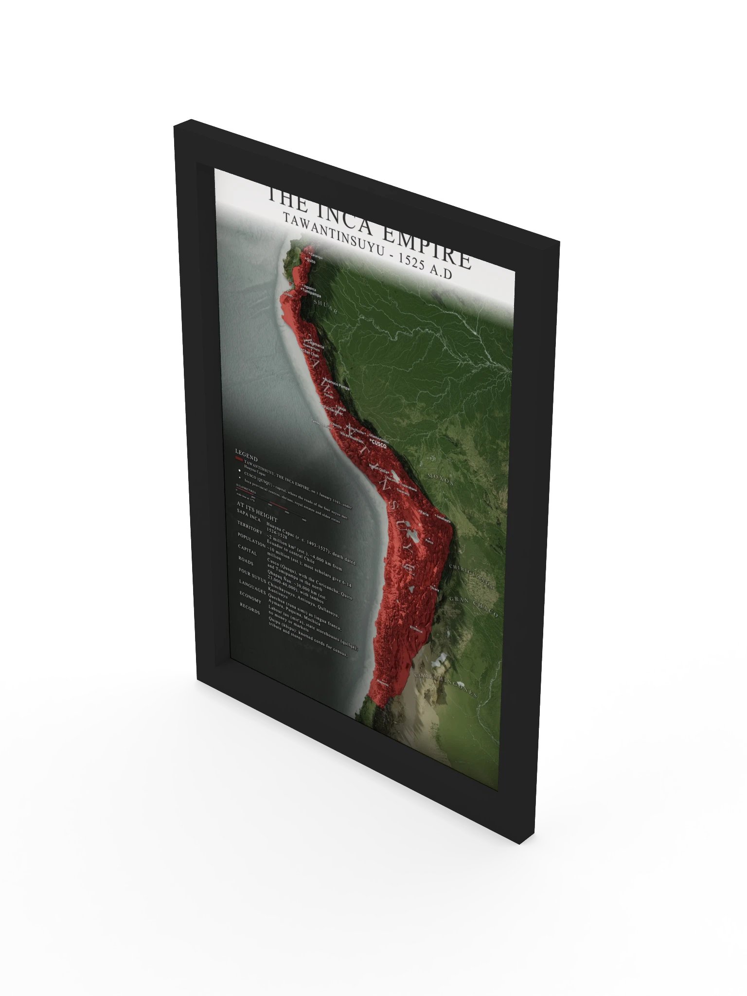
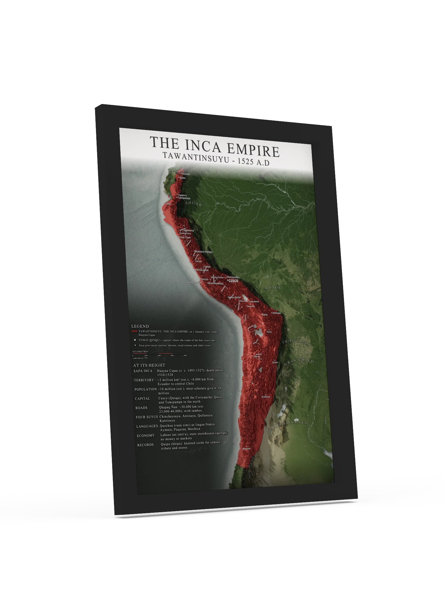
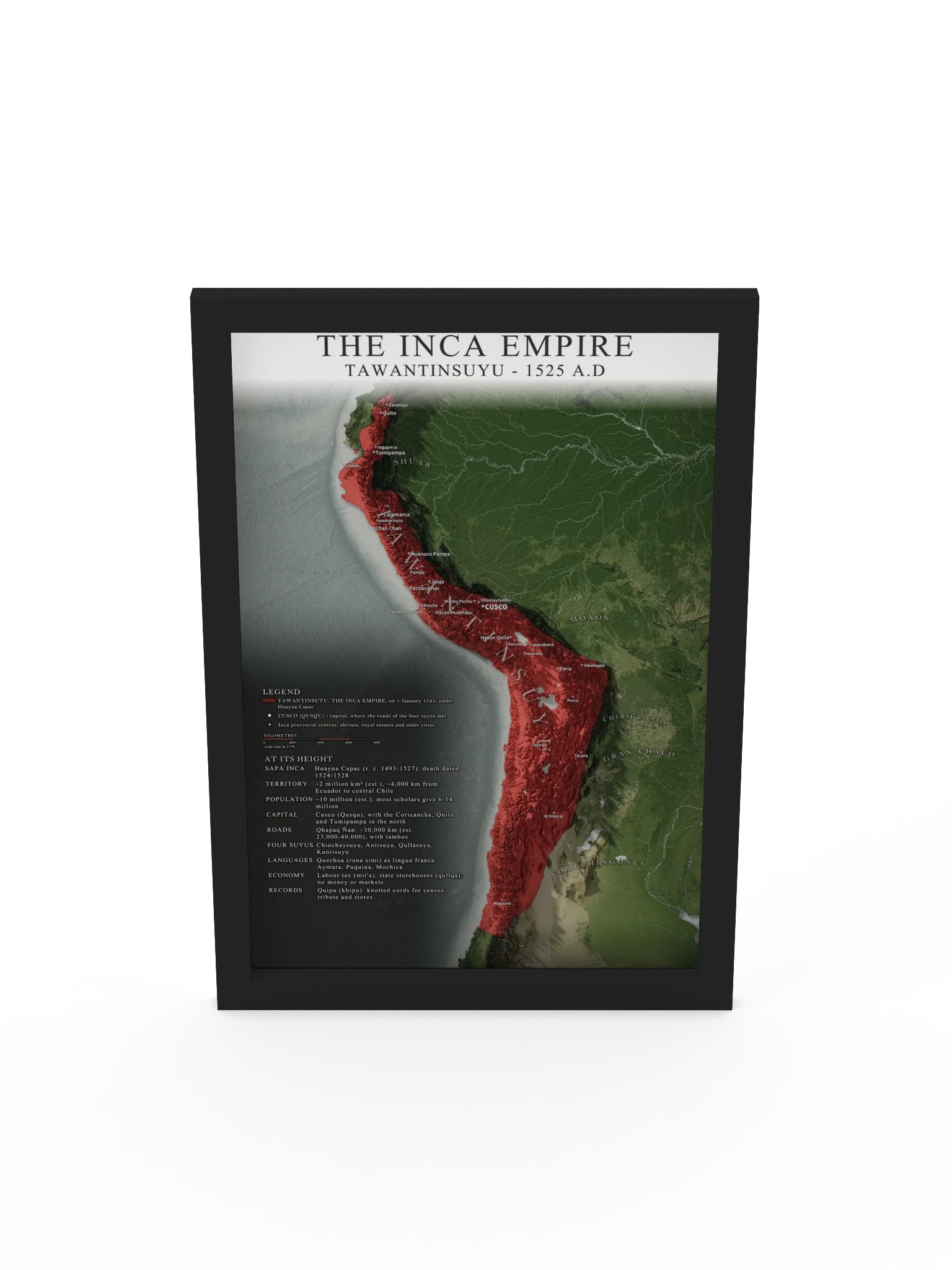
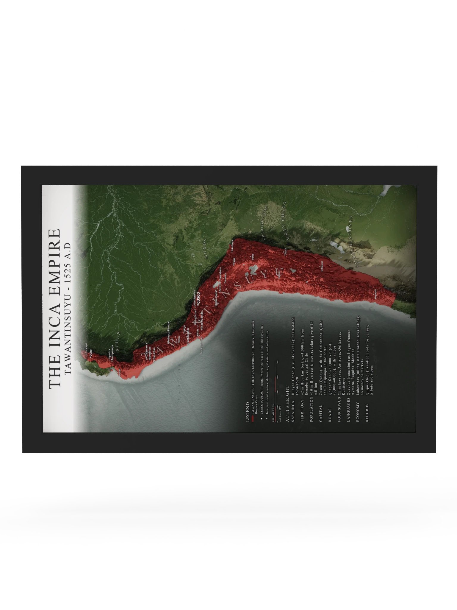
The Inca Empire (Tawantinsuyu), 1525 AD | Shaded Relief Map Framed Print
The largest empire of the pre-Columbian Americas, stretched along the spine of the Andes under Huayna Capac.
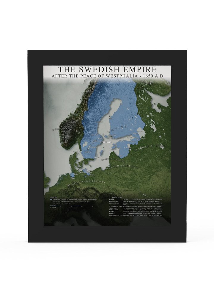
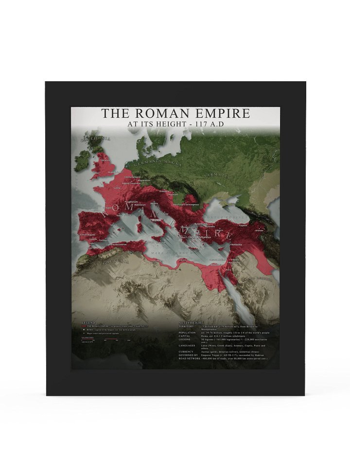
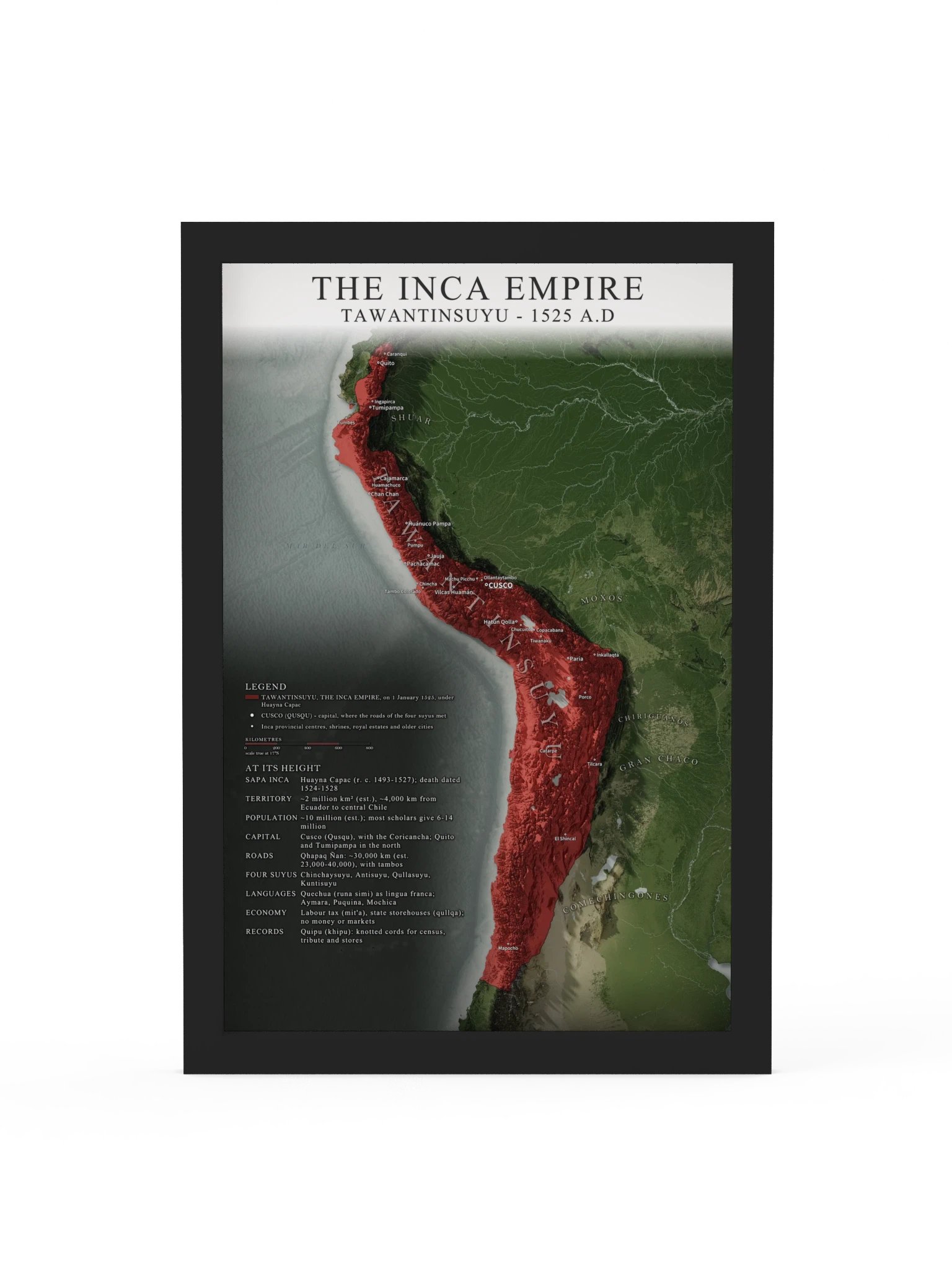
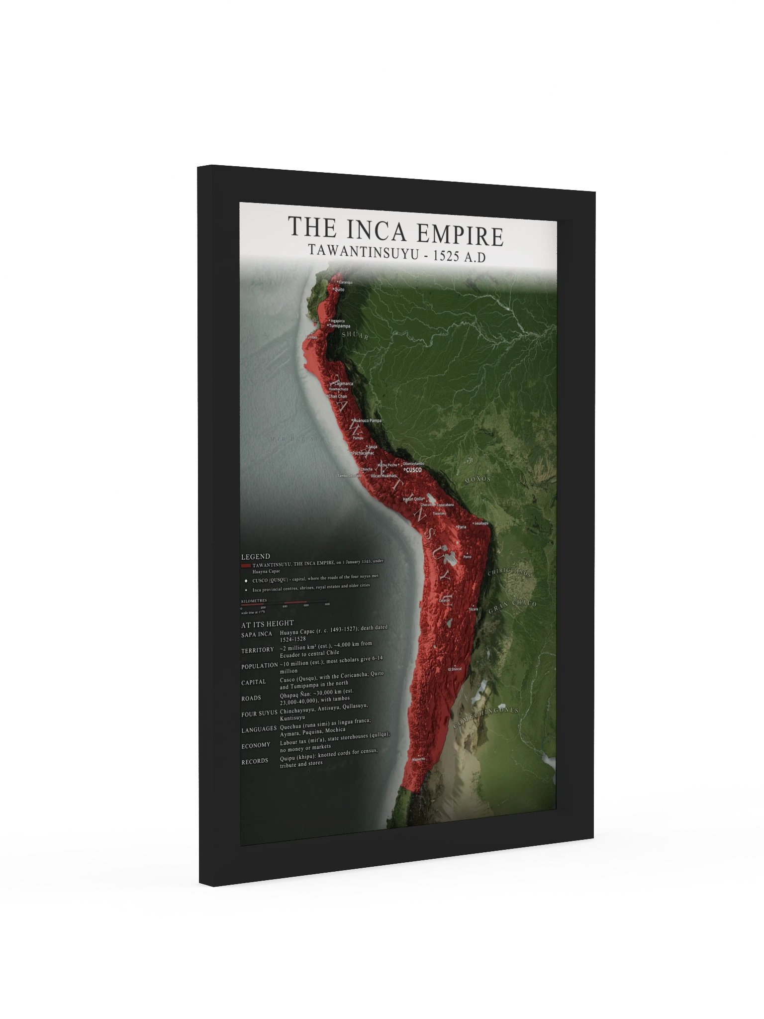
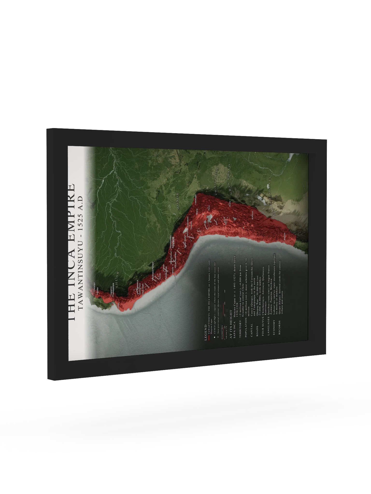
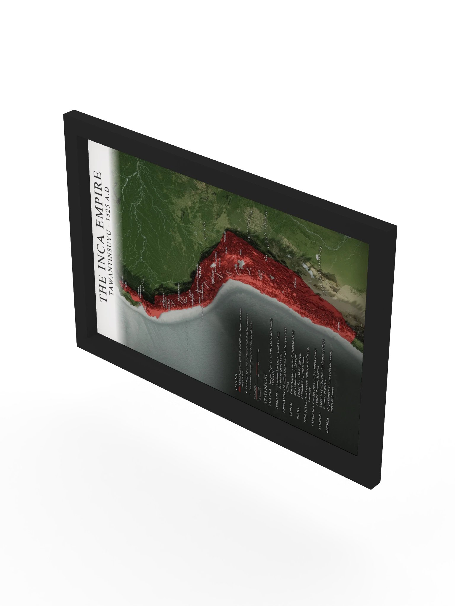
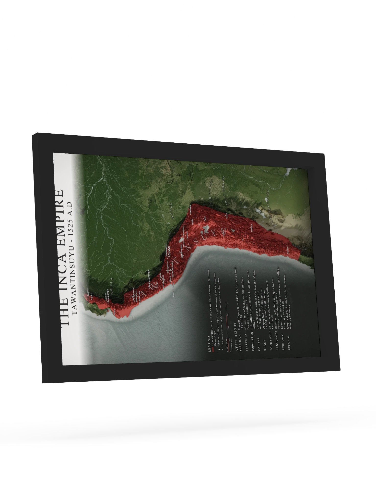
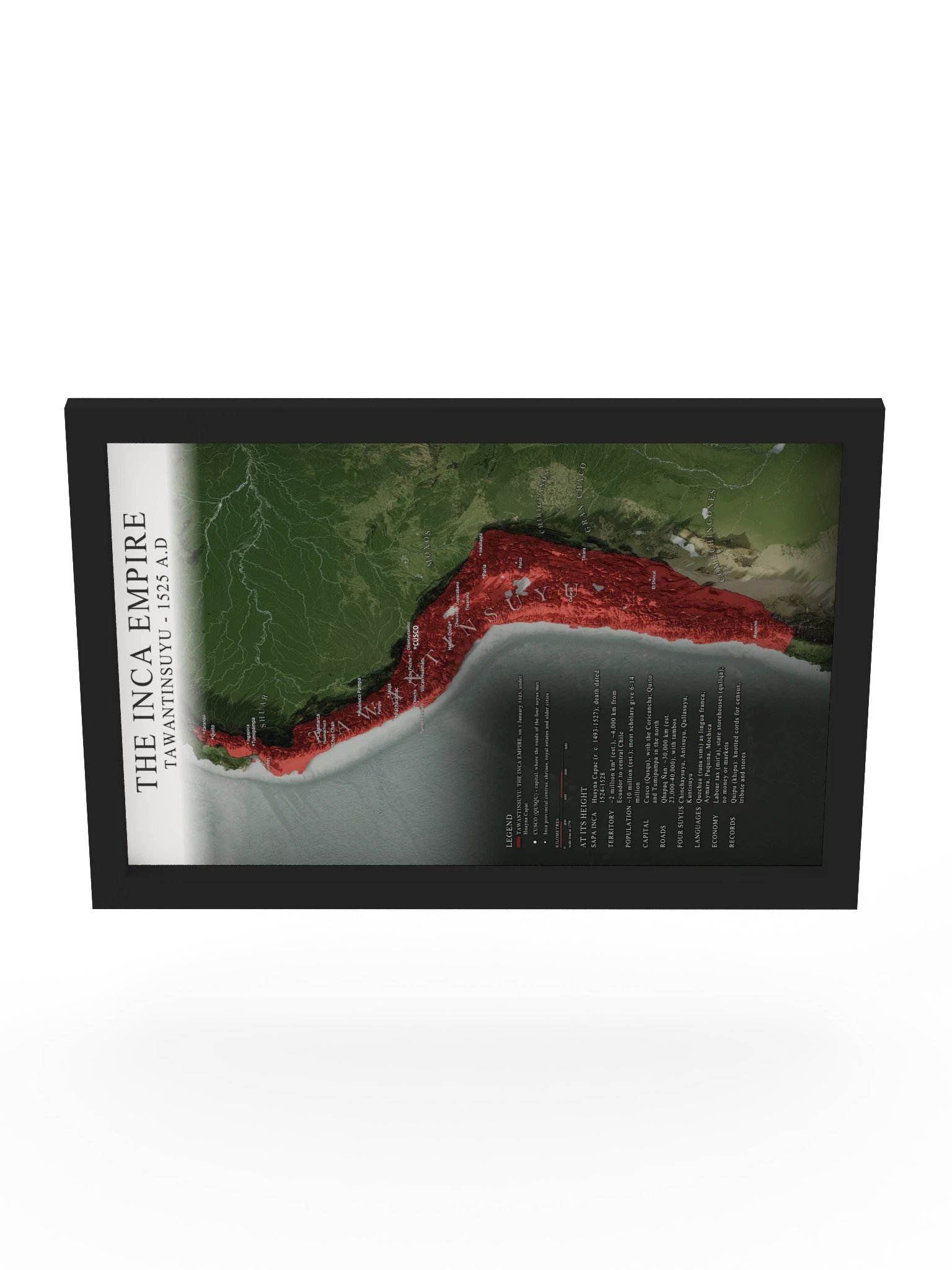
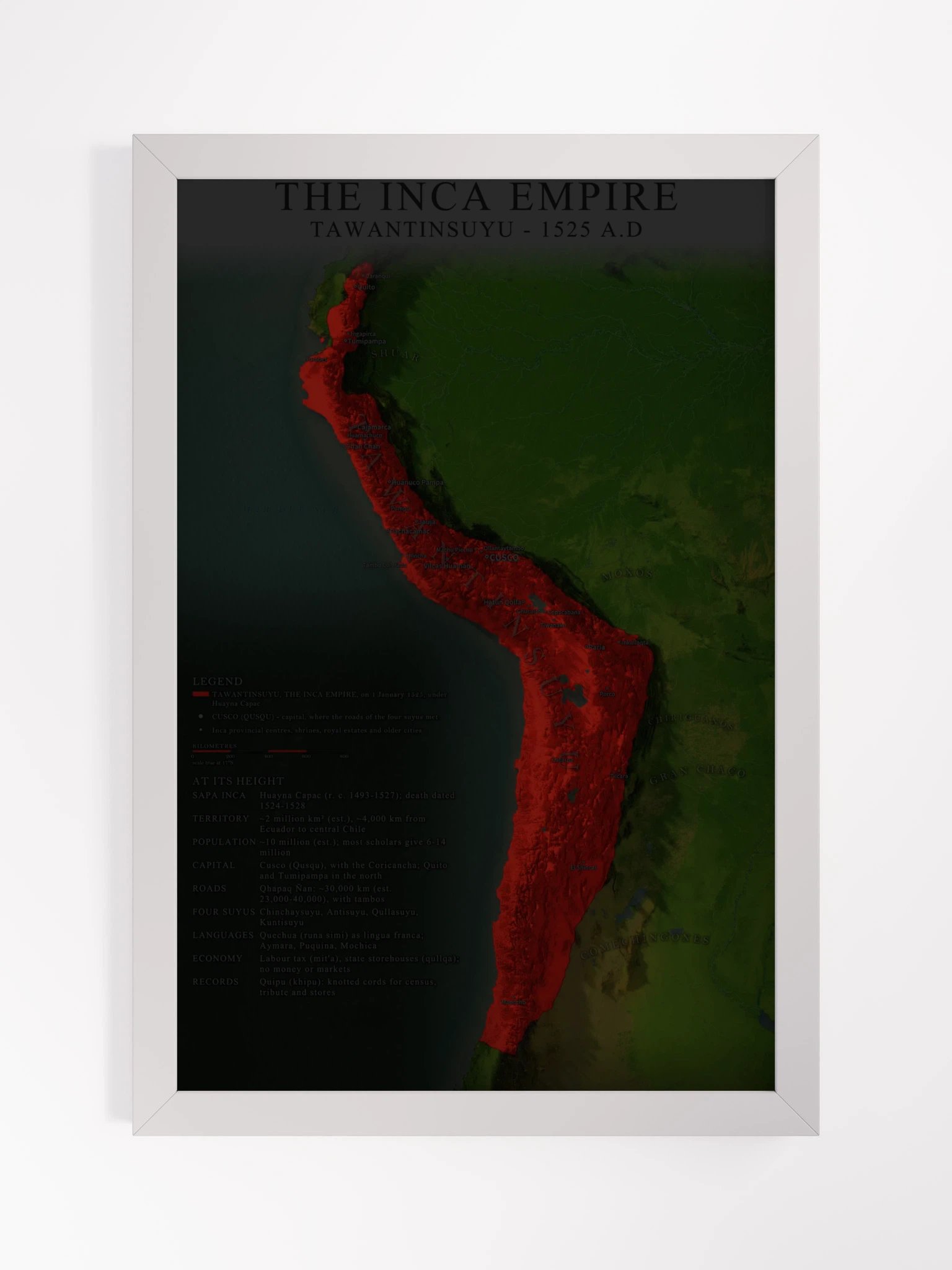
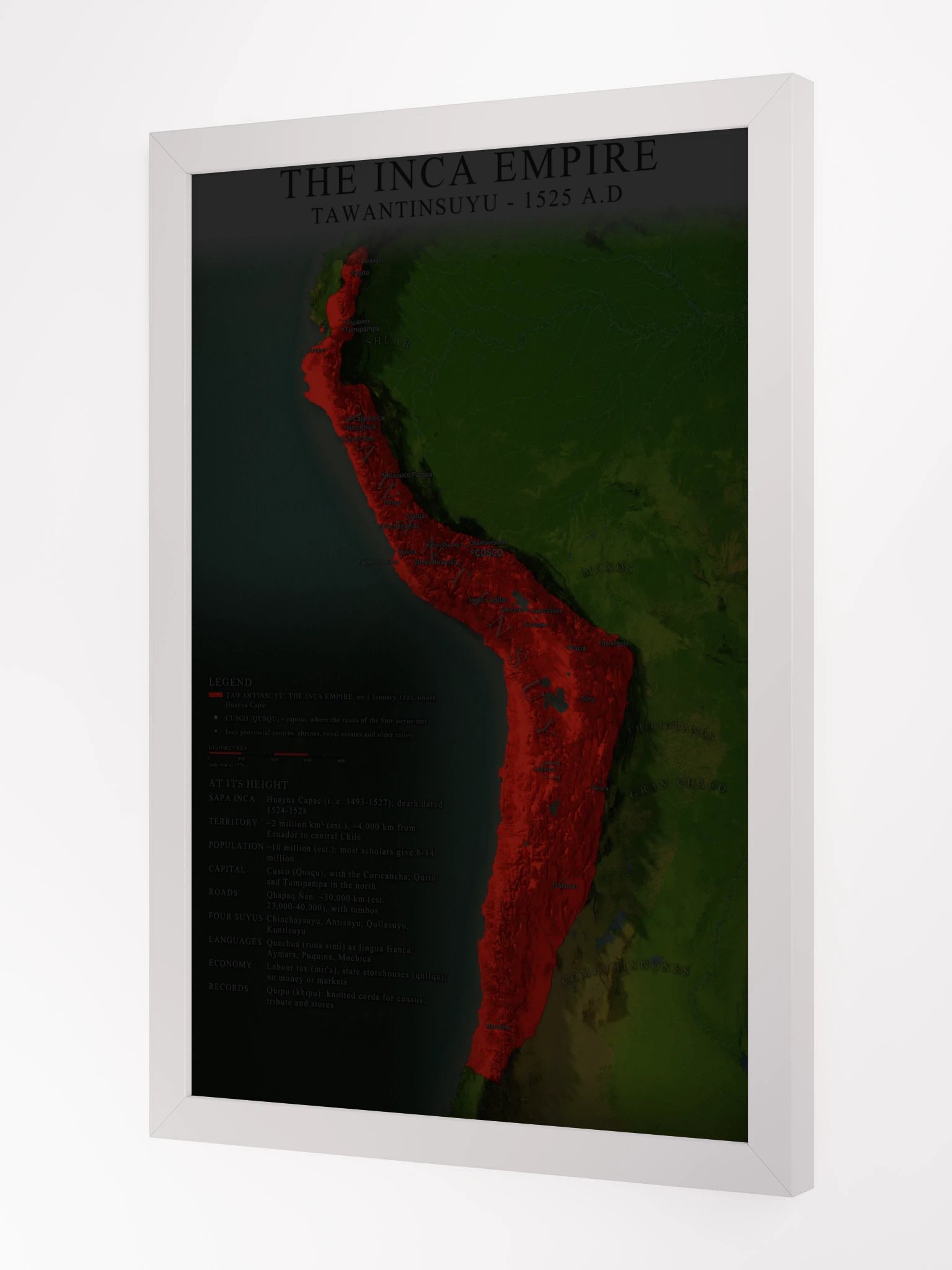
A shaded relief map of Tawantinsuyu, the Inca Empire, in AD 1525, at the height of its reach under Huayna Capac, rendered from real elevation data. The empire stands out in a single colour over the natural terrain of the Andes, with period place names and a panel of historical facts.
Every mountain range, river valley and coastline is modelled from real digital elevation data and lit like a cinematic aerial shot, so the empire's terrain reads at a glance. Borders, cities and regions were carefully reconstructed from historical sources.
On the map:
- The empire in one colour over natural terrain, with its neighbours named around it
- Key cities, with period names: Cusco, Quito, Tumipampa, Cajamarca, Chan Chan, Huánuco Pampa, Jauja, Pachacamac, Vilcas Huamán, Hatun Qolla
- A legend, a scale bar and an "At its height" panel of key facts
At its height:
- Sapa Inca: Huayna Capac (r. c. 1493-1527); death dated 1524-1528
- Territory: ~2 million km² (est.), ~4,000 km from Ecuador to central Chile
- Population: ~10 million (est.); most scholars give 6-14 million
- Capital: Cusco (Qusqu), with the Coricancha; Quito and Tumipampa in the north
What you get:
- Flat printed poster. The terrain is rendered in 3D for a realistic shaded-relief effect; the print itself is smooth, not raised.
- Ultra-high-resolution print from a 10,000+ pixel master, sharp at every size
- Museum-quality 260 gsm matte paper with vibrant, water-based inks
- 0.75" solid Ayous wood frame with an acrylic front, hanging hardware included, ready to hang
A statement piece for an office, study, library or classroom, and a gift the history lover in your life will actually hang. Size tip: choose 16x20" or larger to read every city name and fact comfortably.
Made to order just for you. Framed posters cannot be shipped to Australia.
Excellent for decorative and educational use, but not intended as an academic reference. This map is for personal use only.
More details
- Alder, semi-hardwood frame from renewable forests
- 75" (1.9 cm) thick frame
- Acrylite front protector
- Due to local wood import regulations, framed posters cannot be shipped to Australia.
EU GPSR Product Information:
- Manufacturer contact information
- Name: Knowledgia | Historical Maps, Prints and Digital Downloads
- Email: contact@support.knowledgia.co
- Postal address: PO Box 5696 Santa Monica, CA 90405
- Additional information: This product is made for adults. Meets the lead level requirements. 2 year warranty in EEA and UK
Quality Guarantee & Returns
- Quality is guaranteed. If there is a print error or visible quality issue, we'll replace or refund it.
- Because the products are made to order, we do not accept general returns or sizing-related returns.