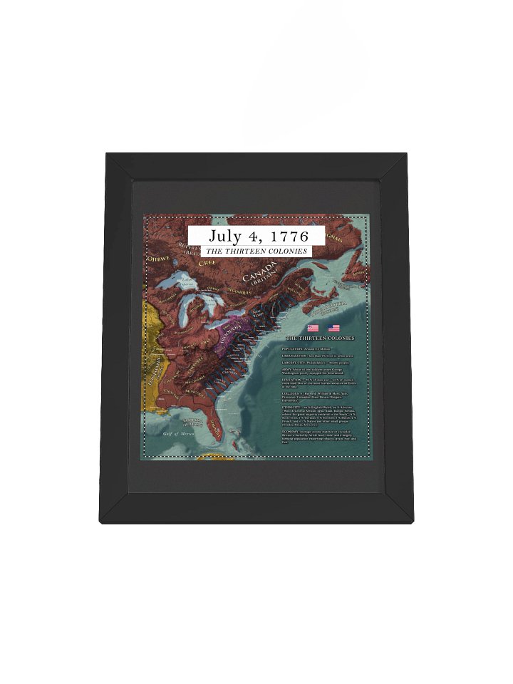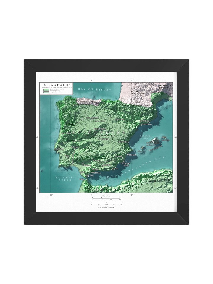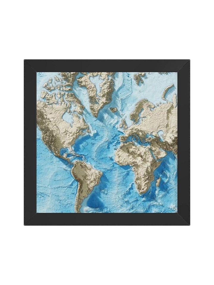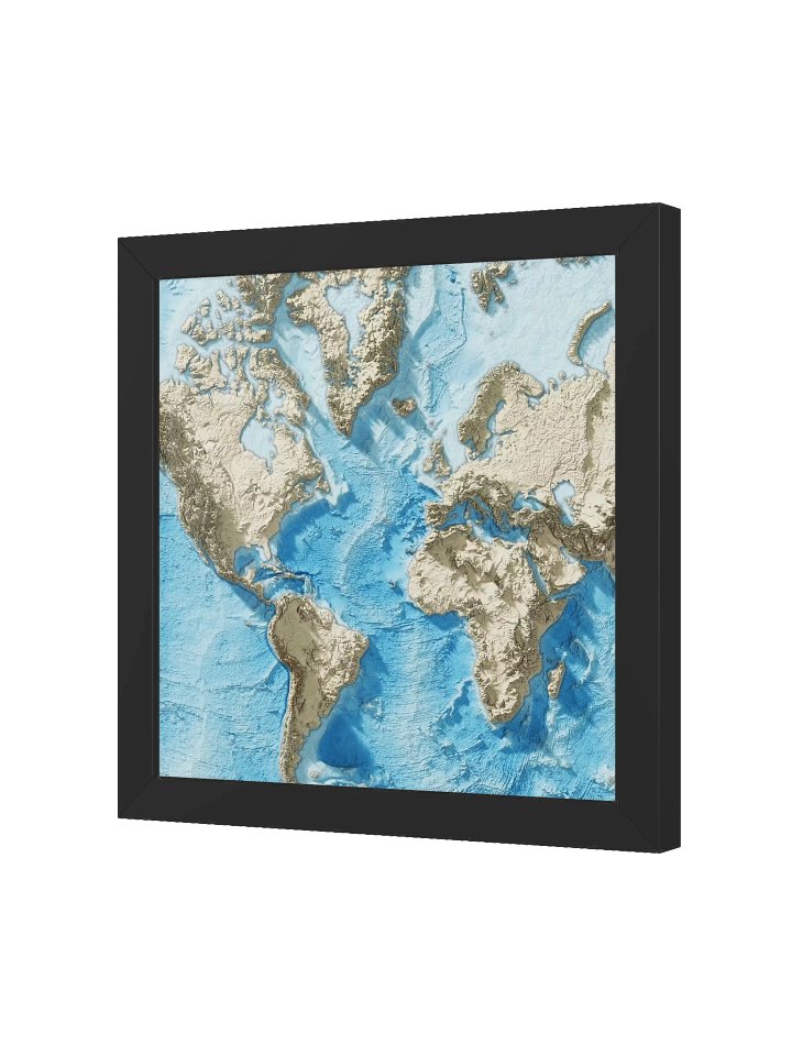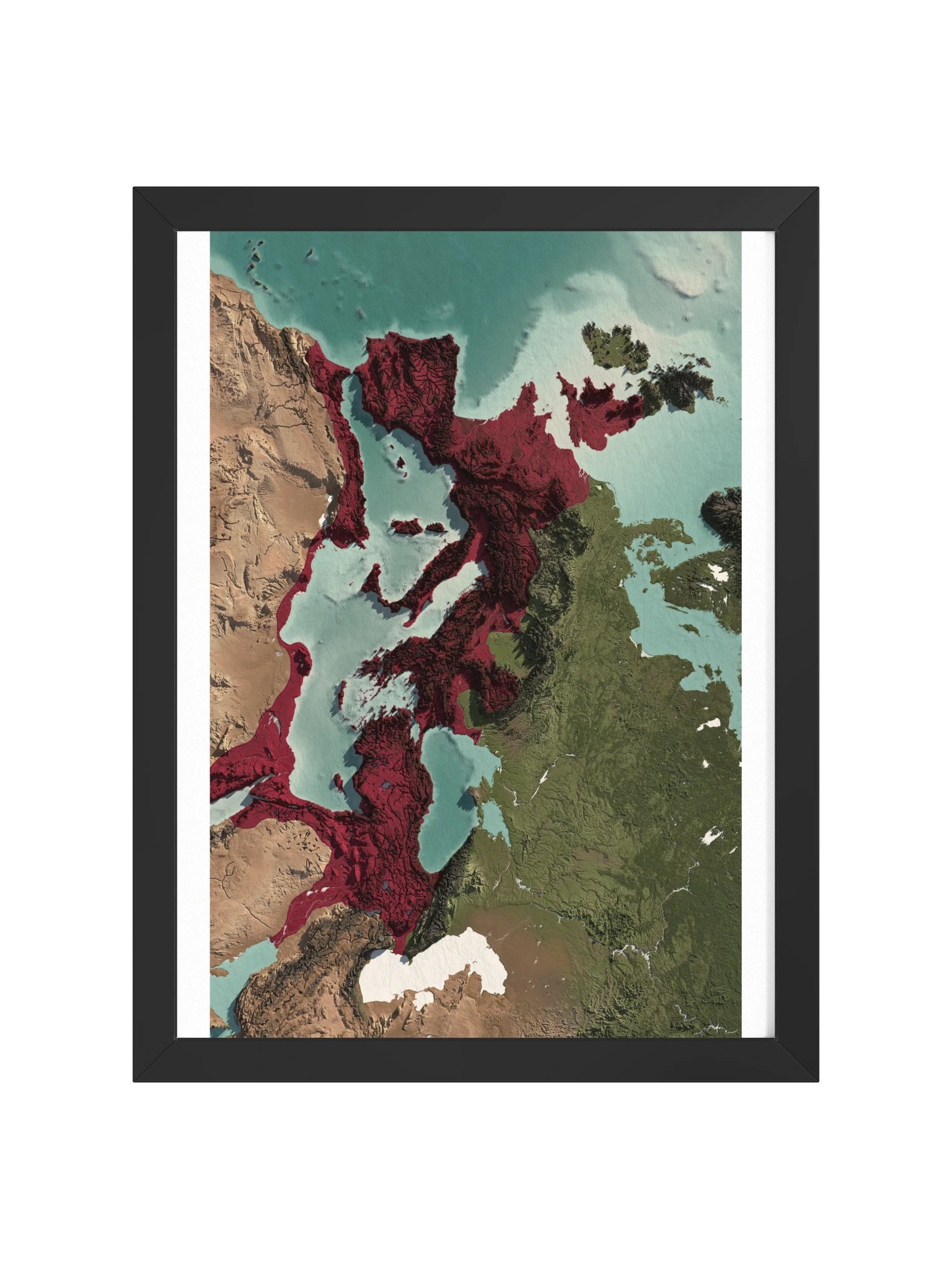
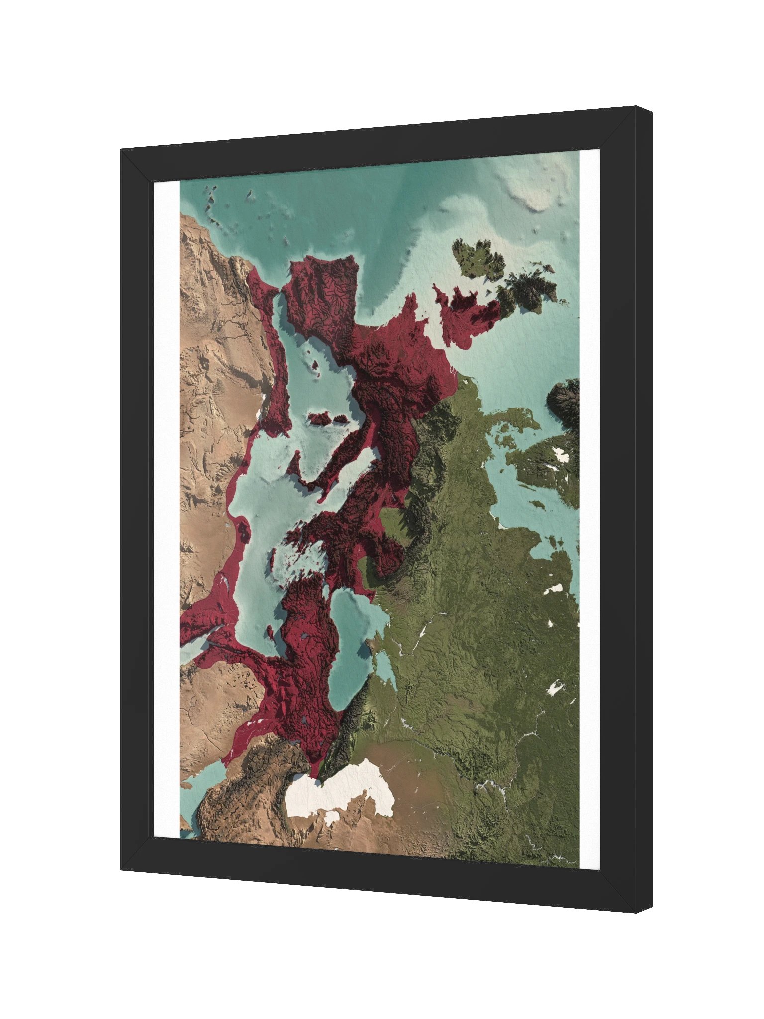
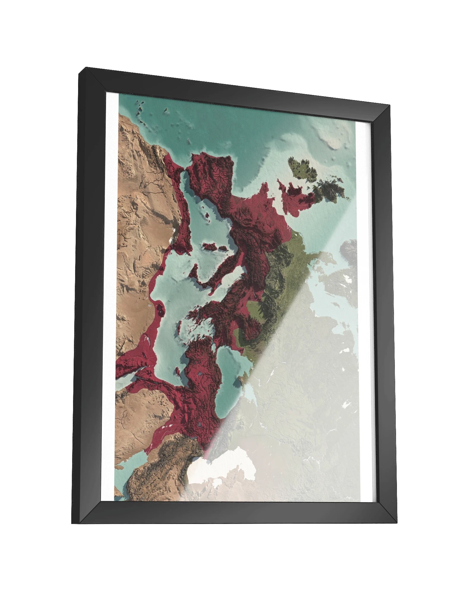
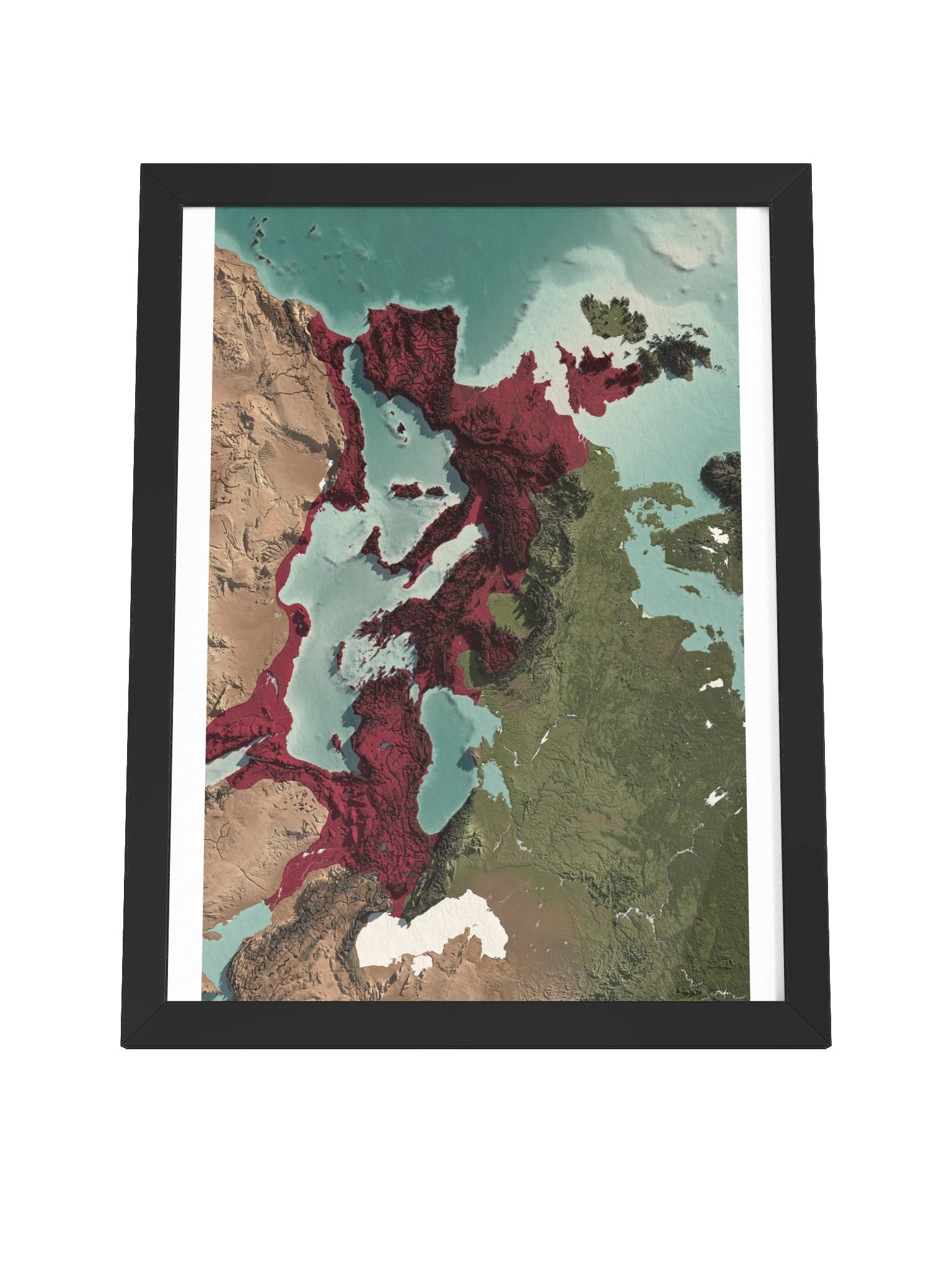
The Roman Empire - 117 AD - Panoramic Framed Map
The complete Roman Empire in one horizontal sweep. Britannia to Mesopotamia, the Atlantic to the Euphrates, exactly as the world stood at Rome's territorial peak in 117 AD, at the end of Trajan's reign.
This is the full wide edition of our Roman Empire map. Nothing is cropped: you get the entire empire from west to east, plus the detail panel on the right. Roman provincial borders, major cities, and imperial frontiers, reconstructed through a detailed study of historical sources.
Printed at 10k+ resolution on premium matte paper and framed in solid wood, this is a statement piece for an office, study, library, or classroom. The landscape format sits naturally above a desk, sofa, or console, anywhere a tall frame will not fit.
What you get:
Ultra-high-resolution archival print of the complete map, horizontal format
Museum-quality matte paper (260 gsm) with rich, accurate colors
Solid Ayous wood frame with acrylite front protector, hanging hardware included, ready to hang
Carefully researched historical recreation: the Empire at its greatest extent, 117 AD
This map is excellent for decorative and educational use, but not intended as an academic reference.
This map is for personal use only.
More details
- Alder, semi-hardwood frame from renewable forests
- 75" (1.9 cm) thick frame
- Acrylite front protector
- Due to local wood import regulations, framed posters cannot be shipped to Australia.
EU GPSR Product Information:
- Manufacturer contact information
- Name: Knowledgia | Historical Maps, Prints and Digital Downloads
- Email: contact@support.knowledgia.co
- Postal address: PO Box 5696 Santa Monica, CA 90405
- Additional information: This product is made for adults. Meets the lead level requirements. 2 year warranty in EEA and UK
Size & Fit
Quality Guarantee & Returns
- Quality is guaranteed. If there is a print error or visible quality issue, we'll replace or refund it.
- Because the products are made to order, we do not accept general returns or sizing-related returns.